Geospatial Services

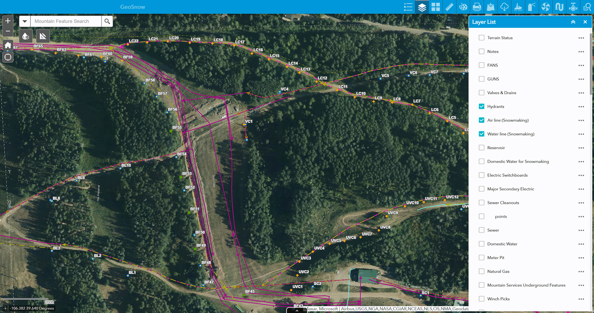
By integrating client data with assets, infrastructure, vendor operations, and guest information, valuable insights emerge that strengthen and sustain a competitive advantage. At Contour, our deep expertise in Geographic Information Systems (GIS) enables us to conduct advanced spatial analyses that support smarter decision-making and accurately forecast potential scenarios—helping clients plan proactively and mitigate risks. We also design and implement web-based spatial applications that streamline internal operations, improve efficiency, and elevate the overall guest experience.
Video of McCoy Park 3D Model
McCoy Park 3D Model in ArcGIS
3D Model of McCoy Park viewed in ArcGIS Viewer

